-
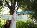
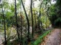
Cyclable Path
- The layout has no difficulty
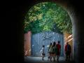
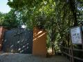
- All local trails have the starting point at the Visitor Center
- The painted yellow markings and the vertical signage of the crossings will indicate that you are on the right path.
- It is recommended to wear comfortable shoes for walking
- Remember to hydrate and protect yourself from the sun
- It is recommended to bring water and some snacks
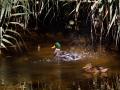
- During your visit observe nature and enjoy the environment, without leaving your waste footprint
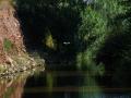
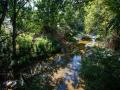
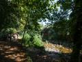
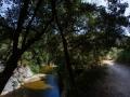
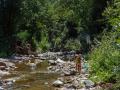
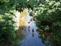
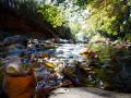
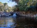
The path of the river follows the path of the Congost, crossing the municipality from north to south and acting as the backbone of all the itineraries and paths that you can follow. In addition, this same path to the north will allow you to reach Tagamanent, and to the south will take you to the beach, at the mouth of the Besòs river.
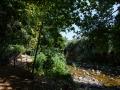
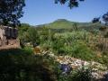
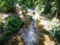
The path we propose, however, is a linear route of gentle slope, which connects La Garriga with the Figaró.
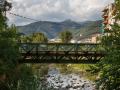
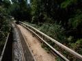
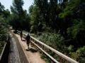
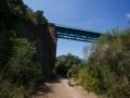
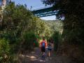
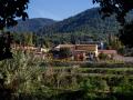
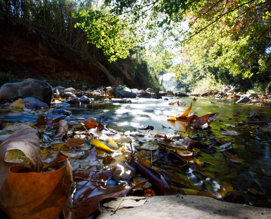
From the Visitor Center, we will go to the Pinetons Park. Here, the path leaves the urban area and takes us into a shady and cool stretch to the bridge and the Can Palau farmhouse, an architectural complex of medieval origin. We will walk at some point next to the C17 road, but also along the old royal road that connected Barcelona with Vic.
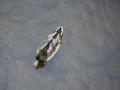
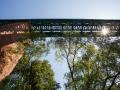
We will cross the river, continue by fields, cross the iron bridges of the train track, see the Rec Monar and the Ca n'Oliveres mill... And we will find a diverse landscape mosaic, dominated by the riparian landscapes.