- MTB trail (2h), possibility to do it on foot
- The route has a high difficulty
- The vertical markings at the junctions will tell you that you are on the right path
- Comfortable walking shoes are recommended
- Remember to hydrate and protect yourself from the sun
- It is recommended to bring water and some refreshments
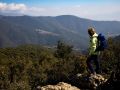
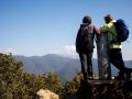
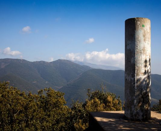
If you want to enjoy unbeatable views of the Garriga and the entire Valais plain and at the same time you have had a good workout, you can do this mountain bike tour, which in less than 20 kilometers will take you to the top of Roca Centella, one of the mountains highest in the Garriga area.
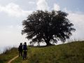
We will leave La Garriga in the direction to Figaró until we reach almost the height of the C-17. At the roundabout we will look for the path that goes out on the right in the middle of the factories, towards the hermitage of Sant Cristòfol de Monteugues. Once we arrive at the hermitage, we will take the path to the right passing through Can Valls to reach the large oak. We will follow the path and turn right at the next two junctions where the path will become steep until the last junction, where we will turn left.
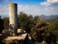
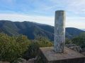
The path will take us to a small square where we can walk up to the top of Roca Centella. To go down we will go in the direction of the house of Prades passing through the Col de Carpis and very close to the hill of Santa Margarida, following the path on the right always to make up the difference in height. We will enter La Garriga through the Can Poi area.