-
Circular route, cycle path
- The route is suitable for all levels, it does not present any difficulty
- You can download the tracks for the route on the website of the Visitor Centre
- All local trails start at the Visitor Center
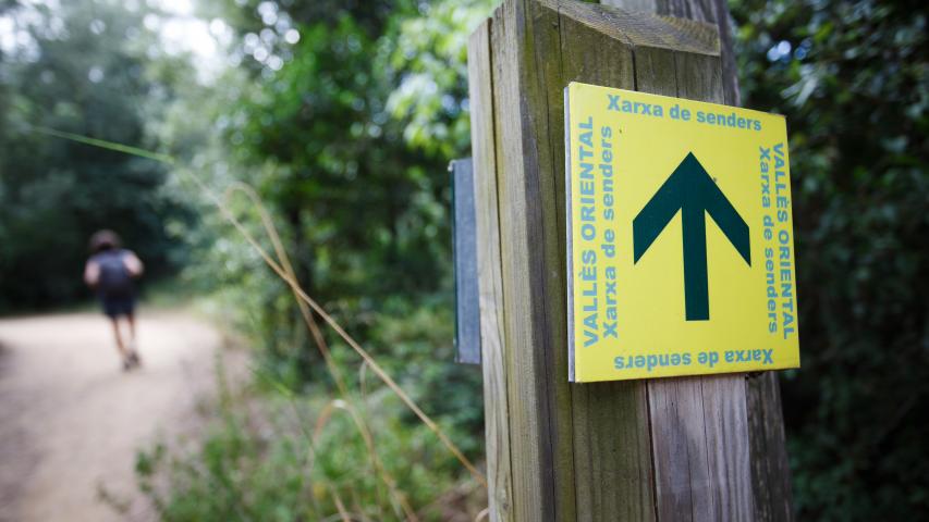
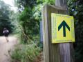
- Yellow painted markings and vertical junction markings will tell you that you are on the right path
- Wear comfortable walking shoes
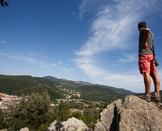
- Remember to hydrate and protect yourself from the sun
- It is recommended to bring water and some refreshments
- During your visit, observe nature and enjoy the surroundings, without leaving your waste footprint
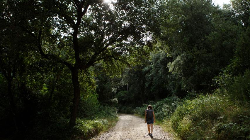
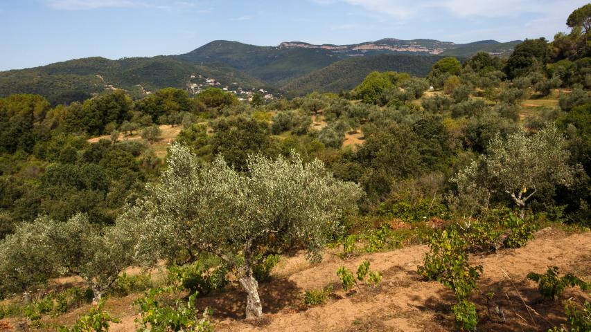
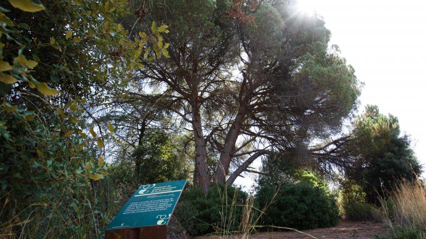
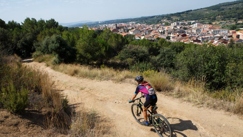
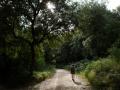
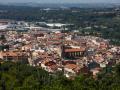
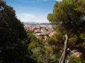
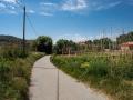
From the Cova torrent you can begin to climb, gently, towards the foot of the Muntanyeta, on a very pleasant and rather shady route.
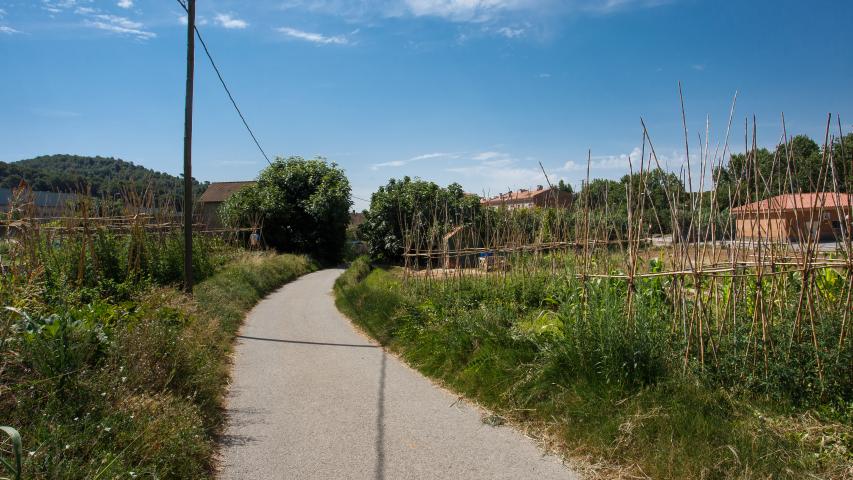
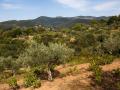
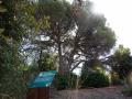
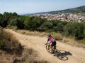
The trail has two variants, one of which, which goes into the stream, is only suitable for walking. It runs through old vineyards, areas that have recently been reclaimed by the forest, some reclaimed olive groves, and patches of open vegetation, until, near Ca l’Oliveró, it enters the forest.
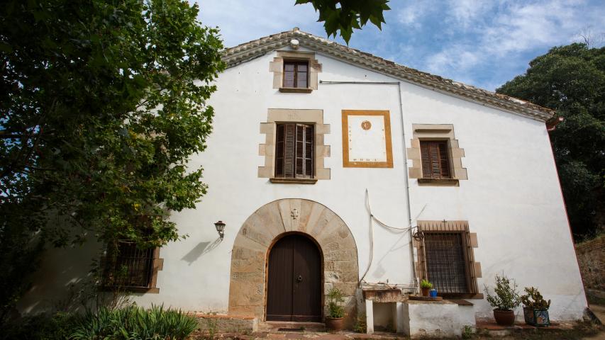
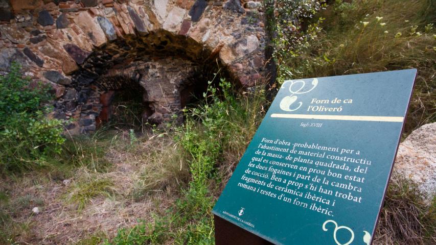
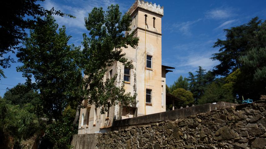
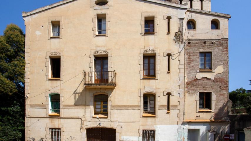
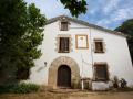
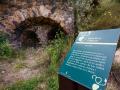
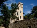
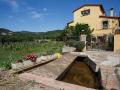
Before arriving at the farmhouse, a fantastic rural building, we will find the ca l'Oliveró oven signposted, which tells us about one of the pre-industrial trades that have disappeared.
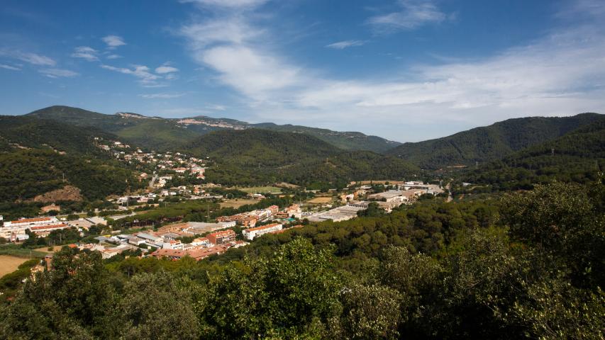
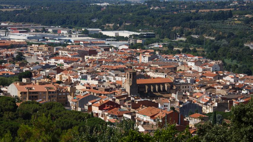
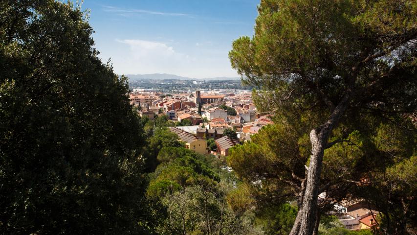
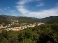
After passing the house and arriving at the Camí de Sant Cristòfol, you will descend towards the Querol neighborhood and the Pinetons park, to then return to the starting point.